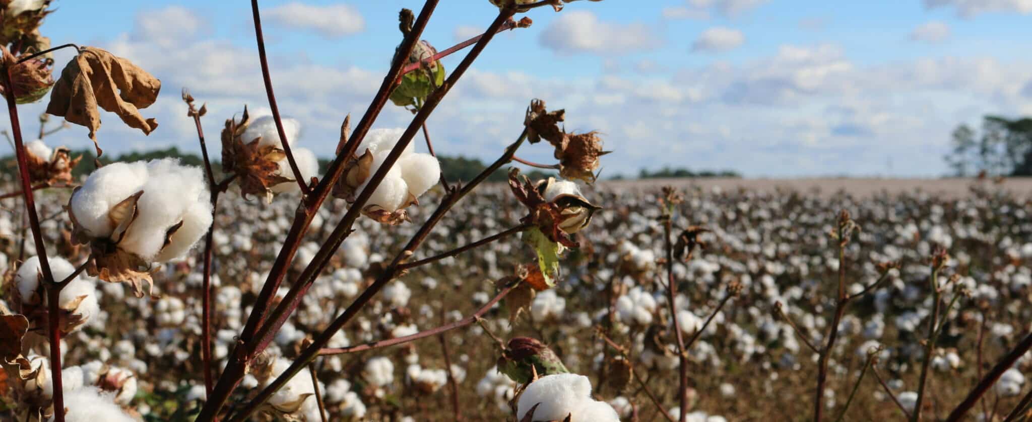
Central Asia is entering the 2026 growing season with markedly less water in its two largest river basins than it has had in recent years. The Amu Darya and Syr Darya, which irrigate farmland across five countries, are carrying lower volumes than normal, and southern Kazakhstan is already bracing for a serious irrigation shortfall, according to regional water officials. Cotton, planted across a large share of that same land, is entering the season on the same tight budget.
Cotton has been one of the world’s most economically significant industrial crops for well over a century, and it grows well precisely in the kind of warm, semi-arid conditions that define much of Uzbekistan, Turkmenistan, Tajikistan, and southern Kazakhstan. The crop’s water demand isn’t steady across a season, though it peaks at specific points. At flowering, cotton draws down well over half of its total seasonal water use, moisture the plant needs while it sets the bolls that determine yield. As the plant matures, that demand inverts, and cotton actually needs a period of moderate water stress. Cutting back water at the right time helps the pod open on schedule and gives better-quality cotton. Irrigate too generously that late in the season and the harvest suffers for it. Few major crops punish both under-watering and over-watering to nearly the same degree, which makes timing, more than total volume, the variable that actually determines outcomes.
That agronomic detail scales up in an uncomfortable way. A crop that needs precisely the right water at precisely the right moments is difficult to grow well even under a stable supply. Grown across a region where the underlying supply is shrinking and its timing is becoming less predictable, because of glacier retreat, shifting precipitation, and rising evapotranspiration under a warmer climate, the margin for getting that timing right keeps narrowing.
Aging Canals
Central Asian cotton has never relied on rainfall alone. Soviet planners built the extensive infrastructure that made large-scale cultivation possible, expanding it over subsequent decades into one of the largest irrigation networks on Earth, with Uzbekistan’s canal system alone running past 100,000 kilometers. Most of that network still delivers water by furrow, the least efficient of the region’s three dominant irrigation methods alongside drip and sprinkler systems, and much of it was built without lining or other water-conserving features. Regional water officials estimate that a significant share of the water drawn from the Amu Darya for irrigation is lost to seepage before it ever reaches a field.
The same diversions that turned the desert green also drained the Aral Sea, once the fourth-largest lake in the world and fed almost entirely by the Amu Darya and Syr Darya. Since the 1960s the Aral Sea has lost around 90% of its original surface area, leaving vast stretches of exposed lakebed that now form the Aralkum Desert. The North Aral Sea in Kazakhstan has seen a partial recovery following restoration efforts, though much of the southern basin remains severely depleted.
Furrow irrigation without adequate drainage has raised water tables and drawn salt toward the surface across much of the region’s older irrigated land. Many growers now flush their fields with extra water before sowing to leach that salt back down, an added irrigation cost driven by the original over-application. Cotton tolerates salt better than many crops, but it still loses yield as salinity builds, which turns irrigation into a double bind: apply too much and the soil degrades over years, apply too little at the wrong moment and this season’s bolls suffer.
Modernizing Under Pressure
Agriculture consumes the overwhelming majority of Uzbekistan’s total water use, most of it drawn from the Amu Darya and Syr Darya. The World Bank has approved a substantial credit to modernize irrigation and drainage infrastructure across five Uzbek regions, the first phase of a broader regional program on water efficiency, citing projections that climate change could meaningfully reduce the country’s water availability even as irrigation demand keeps climbing. Reform has also touched the crop itself. Uzbekistan phased out its Soviet-style state cotton quota system by 2020, clearing the way for the kind of farm-level decision-making that precision irrigation depends on.
A River Shared by Five Countries, and a Sixth Now Digging
The Amu Darya is currently allocated, under a Soviet-era agreement, primarily between Uzbekistan and Turkmenistan, with smaller shares reserved for Tajikistan and Kyrgyzstan. Afghanistan was never party to that agreement, and since 2022 has been building the Qosh-Tepa Canal, a lengthy diversion intended to bring hundreds of thousands of hectares of Afghan land into irrigation. Estimates of the canal’s eventual draw on the Amu Darya run into the billions of cubic meters a year, with Uzbekistan and Turkmenistan positioned to absorb most of the resulting shortfall.
Negotiating with the Facts
There is currently no formal water-sharing agreement that includes Kabul. Resolving that gap is, at its core, a negotiation between governments, and satellite data, however precise, doesn’t substitute for one.
Most of the region’s cotton is still irrigated to a calendar. Water reaches farms through local water user associations on a rotation set by seasonal allocation limits, not by what the crop is doing that week. A grower whose turn falls during a cool spell has little choice but to take the water; one whose turn comes late in flowering may get less than the plants need. Furrow delivery adds its own imprecision, with the head of a field routinely receiving more than the tail. The result is that the crop’s real demand curve and the water actually reaching it rarely line up, even in a year when total volumes are adequate.
What satellite monitoring changes is what governments and farmers are negotiating over. At the scale of an individual cotton field, platforms like Hydrosat’s IrriWatch resolve conditions down to a 10-by-10-meter grid, using thermal imagery to flag water-stressed patches of a field before the effects show up in yield or fiber quality, and generating a rolling seven-day irrigation schedule built around what the crop is actually consuming that week, not a fixed calendar. Growers comparing that satellite-derived read against their own in-field soil moisture sensors have found it holds up closely across a season, which matters more than it sounds. An irrigation tool is only as useful as the trust a grower puts in it, and a basin-scale account is only as useful as the trust a government puts in the numbers underneath it.
For cotton specifically, that field-level precision means matching supply to the crop’s real physiological curve, generous during flowering, deliberately restrained as the bolls mature, instead of applying a flat schedule that ignores which stage the plant is actually in. In Hydrosat’s own field trials, growers following that weekly schedule have used less water overall while maintaining or improving yield, exactly the kind of margin cotton’s stress-sensitive maturity window rewards.
From Farm Schedules to Basin Accounts
The same underlying measurement, actual evapotranspiration, adds up into something more useful at basin scale than at farm scale, and the system is already built to work that way. It can track water use across an agricultural region, historically or in-season, comparing total irrigation applications against what the crop actually demanded. That gap, between water rights recorded in a document and water consumed in a field, is close to the center of what makes a dispute like the one building around the Qosh-Tepa Canal so hard to resolve with any shared set of facts.
Extending that kind of regional accounting to the Amu Darya and Syr Darya wouldn’t settle the underlying allocation question. It would give the governments at the table a common, independently verifiable read on actual water use to negotiate against, which is closer to a prerequisite for a durable agreement than a technicality.
The same measurement that makes IrriWatch useful to a single cotton farm, actual evapotranspiration tracked day by day, is what could make it useful to the governments managing the basin that farm sits in. Central Asia’s cotton producers need the version of that data scaled to a field. The governments managing an increasingly contested river system need the version scaled to a basin, and given what’s under construction upstream, may need it more.
See how satellite data can support your irrigation decisions. Try the demo on our next IrriWatch platform and join our waiting list to gain access on launch.