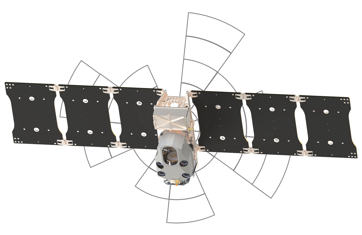
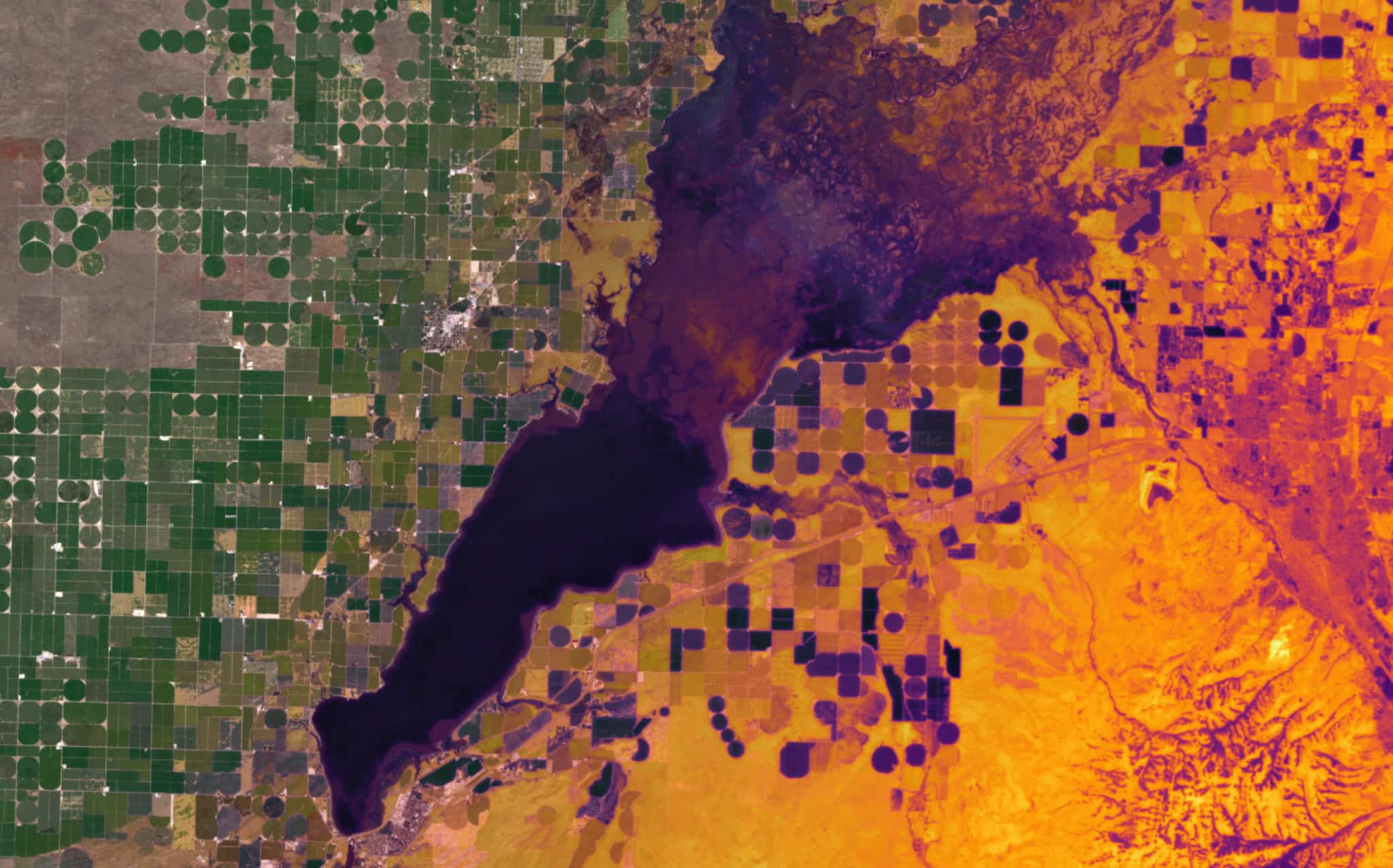
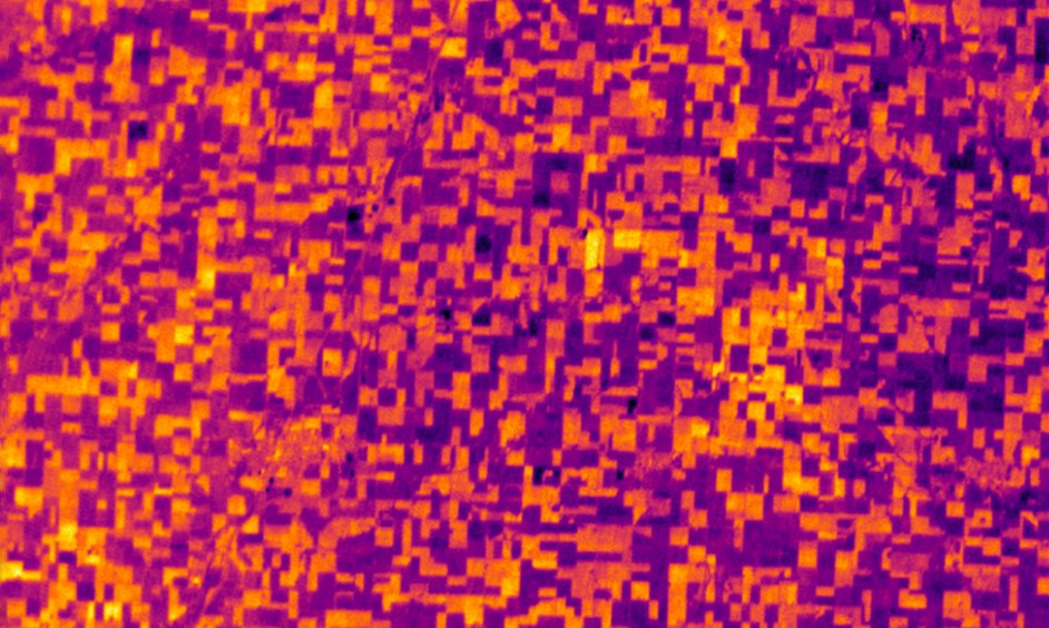
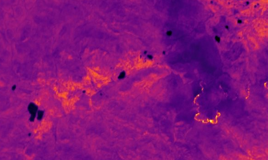
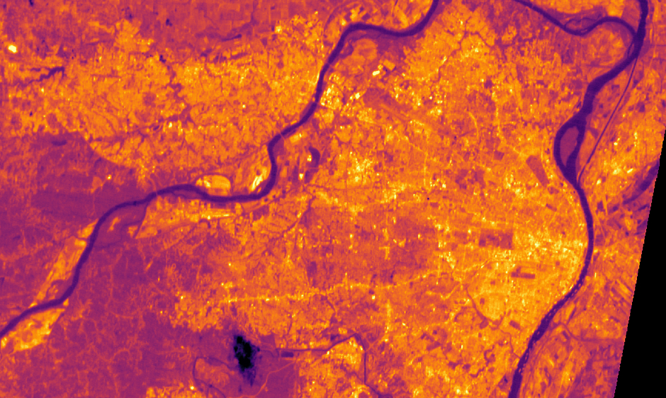
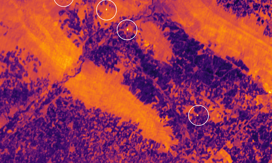
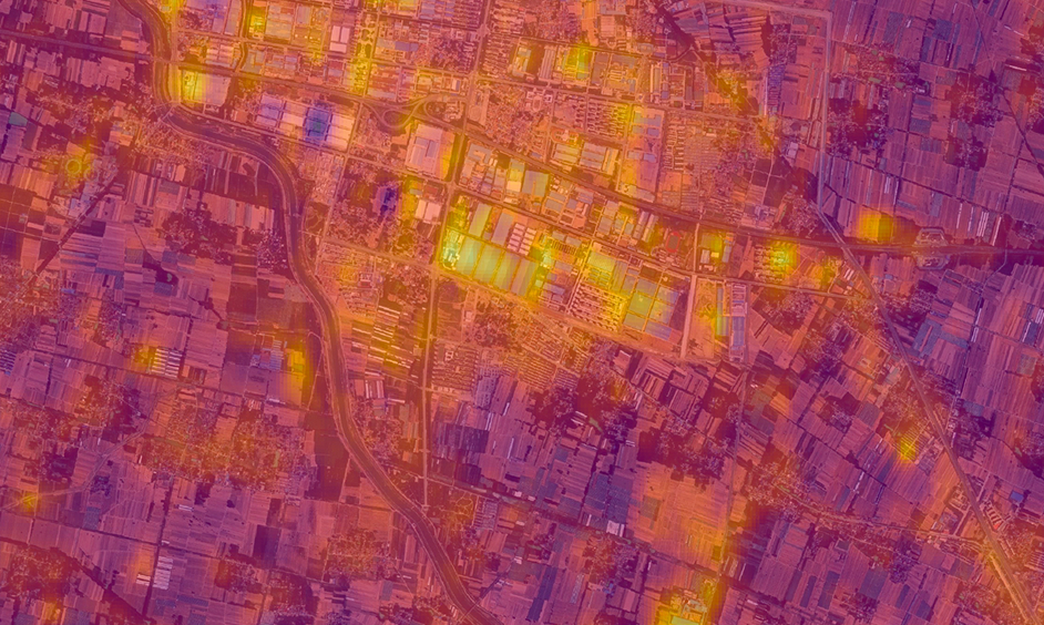
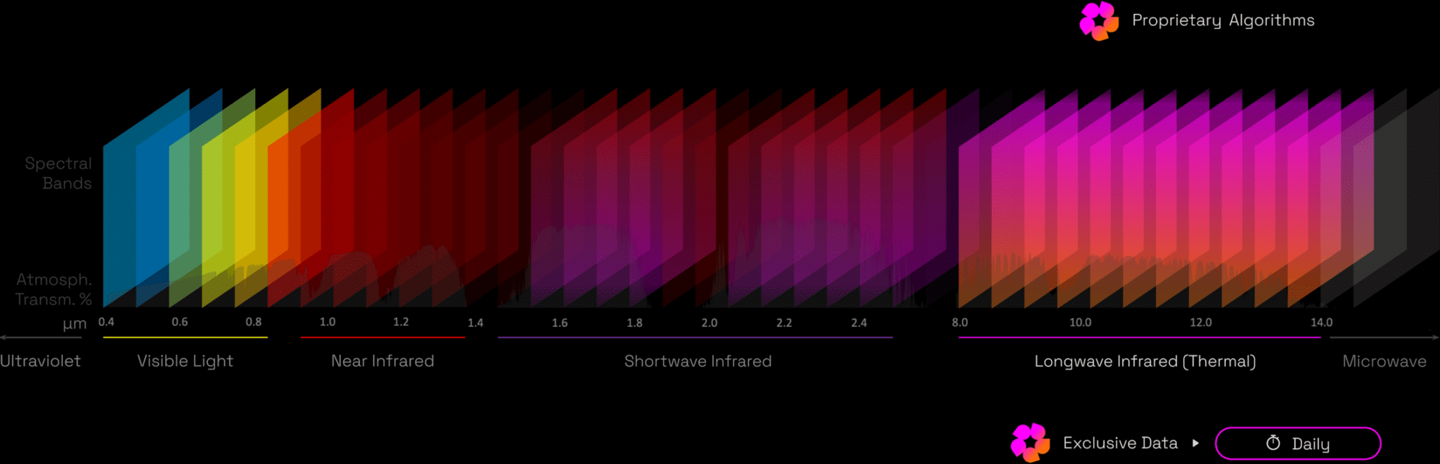
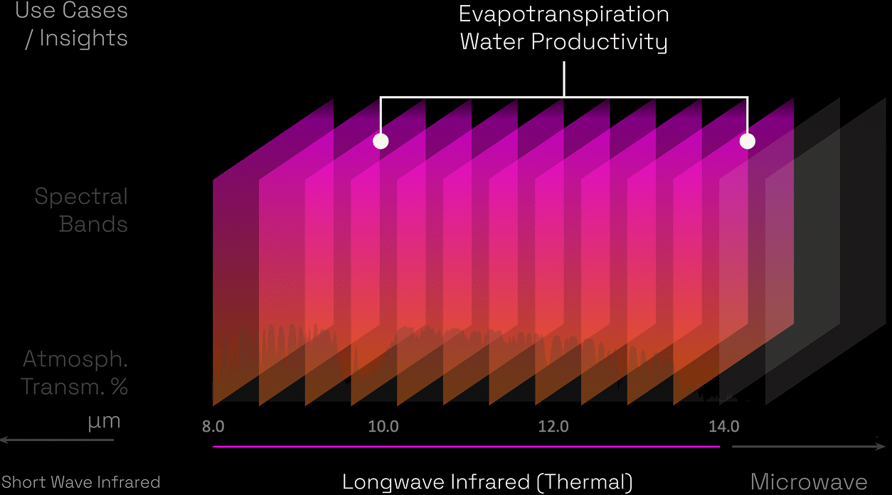
Satellite Technology

Hydrodat’s cutting-edge constellation delivers daily insights to empower farmers, businesses, and policymakers.

Cutting-edge Space Technology

Combined with 30+ years of field testing

Equipping farmers and policymakers to meet their individual potential, maximizing yields, increasing water productivity, saving the planet. We dive deeper, using our vantage point from space to provide solutions on crop, soil, water conveyance and more.

Our Constellation

A game-changer

Hydrosat’s next-generation, constellation will collect global imagery in the visible, near-infrared, and longwave infrared spectra at high spatiotemporal resolution.

These satellites from 500km above will redefine space-based thermal infrared remote sensing, enabling daily continuous monitoring of any location, at any time. Measuring every detail, every day, at scales finer than a single field or city block.

Launching a satellite constellation for a more sustainable Earth

Daily, monthly, annually, providing satellite data for any timeframe

As our satellite constellation grows, as does our ability to help farmers grow and optimize their crop and harvest. Revealing from space, heat stress, planet water demand and use, our satellites see what is unseen on the ground.

VZ-1 & VZ-2 satellite

Following the launch of VZ-1 and VZ-2 (2025), our constellation is what drives us forward to bring change to people’s lives, businesses and governments.

VanZyl-1 VanZyl-2
Orbit Type Sun synchronous
Orbit Altitude ~510 km
Overpass Time ~10:30 am ~1:30 pm
Spectral bands 7 VNIR + 2 LWIR
GSD 30 m (VNIR), 70 m (LWIR)
Field of view 70 km

VNIR – Visible and Near-Infrared, LWIR – Long-Wave Infrared

Industries

Our data goes beyond space, supporting people and businesses to stay ahead of change, becoming proactive, while remaining reactive to changing environments.

Agriculture

Identification of unseen crop stress, optimizing irrigation strategies, evaluating drought impacts, and monitoring crop growth.

Defense & Intelligence

Enabling characterization of anomalies quickly and precisely by monitoring thermal signatures of strategic locations.

Wildfire

Enhanced disaster preparedness by tracking ignition risk, mapping heat perimeters and pinpointing emergency response efforts, in real time.

Urban Heat

Monitoring heat islands and planning urban cooling initiatives for safer and healthier communities.

Energy

Detecting anomalous activity, assessing efficiency, and ensuring environmental compliance of large-scale industrial facilities.

Aquaculture

Supporting manageable and sustainable fisheries by identifying sea surface temperature hotspots and monitoring the health of fish stocks.

Image

Land Surface Temperature & Surface Reflectance

Daily, high resolution land surface temperature data for specified areas. The imagery is proceeded at three levels, both being optimized and then shared through an accessible API, enabling customers to have confidence and ease of visualizing and understanding data-enabled actions to be taken.