Data Delivery
Real-time data with daily alerts, maps, and actionable guidance

Hydrosat's subscription packages provide field-level and regional-level analytics to make informed decisions and foster sustainable practices worldwide.
Real-time data with daily alerts, maps, and actionable guidance
Irrigation planning, detailed field maps, and in-field scouting insights
Dedicated experts, transparent methods, and validated results
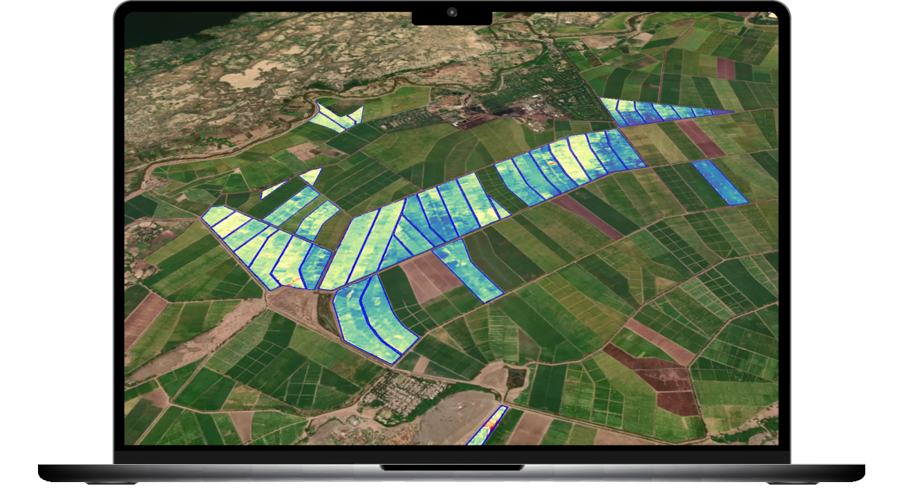
High-resolution thermal imagery, for earlier detection, beyond NDVI
30+ Years of research
and developed
SEBAL model

Monthly insights empowering sustainable, economically optimized decisions for policymakers, irrigation districts, and farms. With up to 10 years of historical analysis, turn water data into short-term impact influencing long-term strategy.
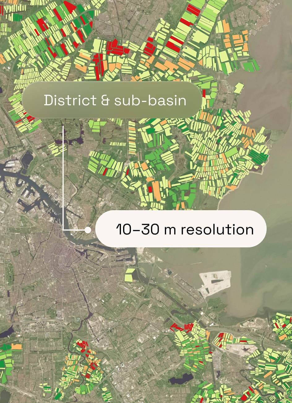
Target district and sub-basin levels based on
high-resolution 10-30M data
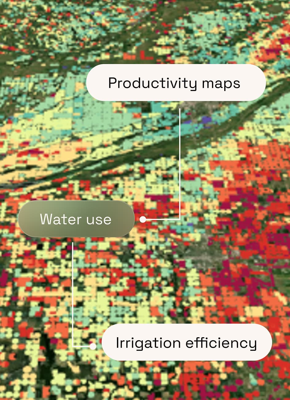
Quantify water productivity by identifying hotspots and gaps through water consumption, irrigation efficiency, and productivity maps
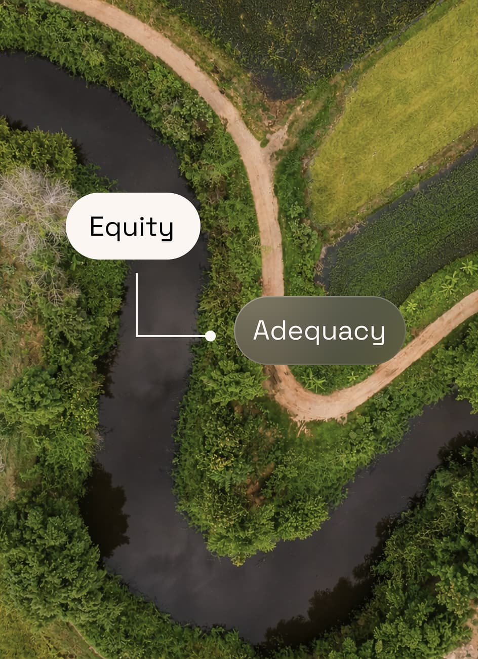
Diagnose equity, adequacy, and reliability of water delivery across canal command areas, districts or regions
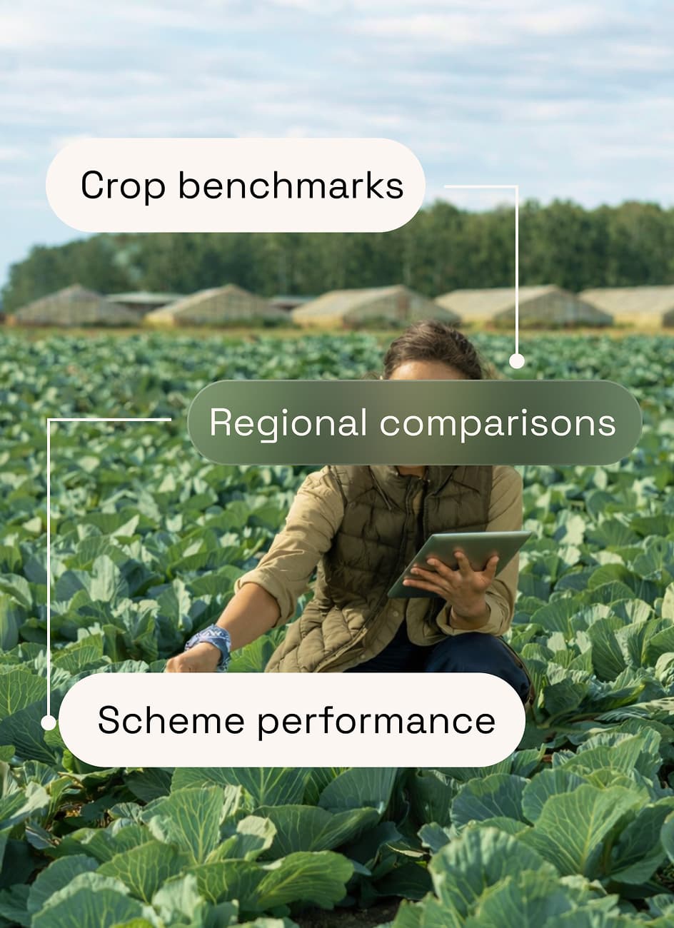
Compare water efficiency across crops, regions, and irrigation schemes
regional water consumption, assess irrigation performance, and benchmarks
opportunities to optimize allocation
impact of (infrastructure) projects and interventions
data-powered policy for smarter water resource management
Making compliance simple and transparent with sensorless, daily monitoring of water consumption across counties, basins, and individual growers. Proven across 220k+ acres, Water Compliance Monitoring ensures long-term water reliability for communities, farms, and ecosystems.
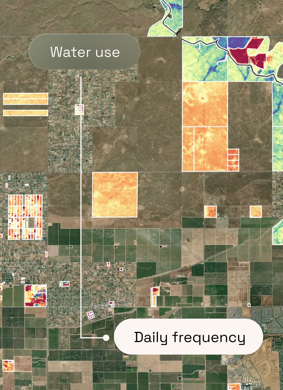
Comprehensive water use monitoring at county, basin, and grower levels with daily frequency
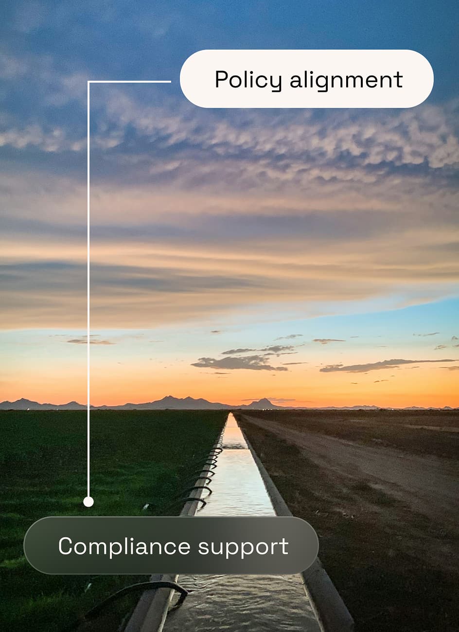
Regulatory and withdrawal compliance support to ensure alignment with local water policies
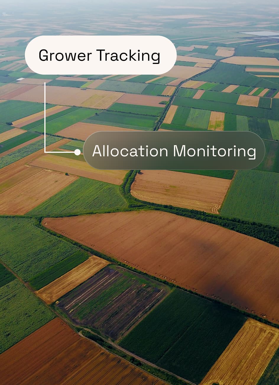
Custom water budgets and allocations with per-grower tracking and stock monitoring
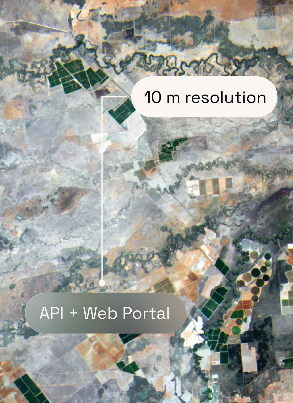
Seamless data delivery via API and Web Portal with 10-meter resolution insights
product on one centralized platform, requiring no field equipment or sensors
reporting at basin, or district level with customization capabilities
applied water, allocations and withdrawals daily
water consumption as an indicator of groundwater depletion
Thermal imagery and satellite data are supporting local governments and agribusinesses in the Netherlands. Servicing an area of over 800,000 residents, 21 municipalities, and approximately 25,000 businesses in Central and West Brabant, The Brabantse Delta Water Board relies on Hydrosat to ensure efficiency.
Hydrologist, Waterschap Brabantse Delta
“With Hydrosat, the regional water authority, has much more detailed information about the status of their crops. Farmers are adjusting their operational practices based on the information Hydrosat gives”
Hydrosat thermal imagery and satellite data support agribusinesses in Greece. Smart Agro Hub is a competence center in the field of smart farming. As an initiative of the Agricultural University of Athens, they collaborate with Greek companies in agro-technology, supply chain, circular economy, energy and digital technologies.
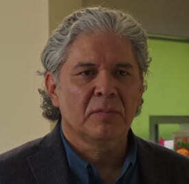
CEO, Smart Agrohub
“This tool enables us to decrease the water footprint and at the same time increase the yield of those crops. It doesn’t need the frequent involvement of the farmer because we do not need to log the irrigation events. It logs the events automatically from the feedback it receives from satellite imaging”

Efficient water use is essential for agricultural productivity in Mexico. Irritec works with growers across the country to support irrigation planning and water management. By incorporating Hydrosat's satellite-derived insights into its operations, Irritec Mexico helps farmers better understand field conditions and make more informed irrigation decisions.
Commercial Director, Irritec Mexico
“Now that Hydrosat has shown us how to use water more efficiently, we have seen very significant benefits and higher yields. We have also achieved much better water utilization.”


Your request has been successfully submitted. We appreciate your interest and we will get back to you as soon as possible.
Your application has been successfully submitted. We appreciate your interest and we will get back to you as soon as possible.
12 jobs available