Every year, a significant share of the water that enters an irrigation system never reaches its intended destination. Some is lost to leaking infrastructure and unlined canals. Some is simply unaccounted for, drawn from the system without measurement, without record, and without consequence. In water management circles this is often described as “non-revenue water”, borrowing a concept from urban utilities where the gap between what is produced and what is billed represents a direct financial loss. In agriculture, the same gap exists, often at far greater scale, and the consequences go well beyond revenue.
For governments and water authorities responsible for managing scarce resources across entire river basins and agricultural regions, this is not an abstract problem. It undermines the fairness of allocation systems, affects how much water is available downstream, and makes it extremely difficult to enforce water rights or implement conservation policy when no one really knows how much water is being used in the first place.
The governance gap that measurement alone doesn’t close
Water management has always depended on data, but the question of who controls the instruments collecting it matters just as much as what those instruments record.
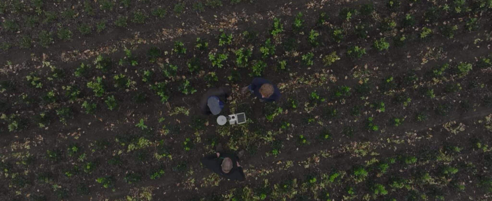
In many irrigation systems, the primary data sources available to regulators are canal intake gauges, flow meters at distribution points, and in some cases in-field soil moisture sensors installed by, or in coordination with, farmers. These tools provide genuinely useful operational information. But they share a fundamental limitation that becomes increasingly significant as water governance matures: the people being monitored often have direct or indirect influence over the instruments collecting the data.
This is not a hypothetical concern, ground-based measurement infrastructure is subject to the full range of real-world operational pressures. Sensors drift out of calibration over time, equipment degrades, maintenance cycles are missed and instruments placed in unrepresentative locations, whether through oversight or circumstance, can skew what the data shows. Traditional flowmeters, while valuable, are costly to install and maintain, and gaps in upkeep introduce significant uncertainty into the records that depend on them. As water becomes more economically significant, and as regulatory frameworks begin attaching real financial consequences to water use, the stakes attached to measurement accuracy rise accordingly – both for the authorities depending on it and the farmers whose allocation records rely on it being right. Where field instrument data feeds directly into billing or compliance assessment, the integrity of that data is not just a technical question, but also a governance one.
What independent measurement actually means
This is where the distinction between ground-based and satellite-derived data becomes most significant, and it is not primarily about accuracy in the technical sense. It is about independence.
Satellites observe from outside the system entirely. They do not require access agreements with landowners. They are not affected by whether a probe has been repositioned or recalibrated. The data captured over an agricultural landscape reflects what is actually happening in the field, regardless of what any ground-based sensor reports. For a water authority assessing whether an irrigation district is consuming within its allocated budget, this independence is foundational.
A growing number of water governance frameworks are now moving toward volumetric charging systems where farmers are allocated a defined amount of water per season and charged at a higher rate for any consumption above it. The logic is sound. But the policy only works if the consumption data is trustworthy. If a farmer knows that reported water use determines their tax liability, the integrity of the measurement system becomes the foundation on which the entire framework rests.
Satellite-derived evapotranspiration (ET) data, capturing what crops are actually consuming rather than what was nominally applied or recorded, provides the independent verification layer these frameworks require. Unlike soil-level instrumentation, which captures conditions at a fixed point and depth, ET-based satellite measurement integrates consumption across entire fields and districts without any dependency on ground infrastructure. It gives water authorities a number that was not generated by the party with the most to gain from a favourable result.
From regulatory framework to daily operational reality
Translating allocation rules into enforceable, day-to-day outcomes has historically been one of the hardest problems in water governance. The rules exist, but the data to act on them often does not.
Hydrosat closes that gap, turning regulatory frameworks into daily operational realities. Using thermal satellite data and more than 35 years of validated scientific methodology, Hydrosat delivers daily, satellite-based measurement of irrigation water use with visibility at the county, district, and individual farm level. Allocation tracking per grower, automated reporting, and compliance insights are generated continuously, with no in-field hardware required and no dependence on ground infrastructure that can be compromised or allowed to fall into disrepair.
Sensors still have a role, just a different one
None of this makes ground sensors irrelevant. At the field level, well-placed and well-maintained instrumentation provides real-time, localised data that supports irrigation scheduling and contributes to calibrating the models that satellite-derived products depend on. For day-to-day operational decisions at the field scale, ground sensors remain a genuinely useful tool.
The more important distinction is what data source carries governance weight. For regional allocation monitoring, compliance assessment, and enforcement, independent satellite-derived data provides something that ground sensors, even well-maintained ones, structurally cannot: a measurement that nobody involved in the outcome had the opportunity to influence. Used together, the two approaches cover different parts of the problem. Used in isolation for regulatory purposes, ground sensors leave authorities exposed.
The measurement problem is also a trust problem
Water governance ultimately depends on trust. Trust that allocations are fair. Trust that enforcement is consistent. Trust that the data used to make decisions reflects what is actually happening across the landscape.
As water scarcity intensifies and regulatory frameworks tighten, that trust increasingly has to be grounded in data that is independent, continuous, and verifiable. Satellite data does not solve every challenge in agricultural water management. But it offers something that is becoming increasingly rare and valuable: a view of the landscape that no one on the ground can adjust.