Operate When Others Can’t. See What Others Miss.
Our constellations expand what’s possible with market-leading thermal insights. Hydrosat’s systems have flight-heritage and are engineered to meet standards for civil and national security missions.

Our constellations expand what’s possible with market-leading thermal insights. Hydrosat’s systems have flight-heritage and are engineered to meet standards for civil and national security missions.

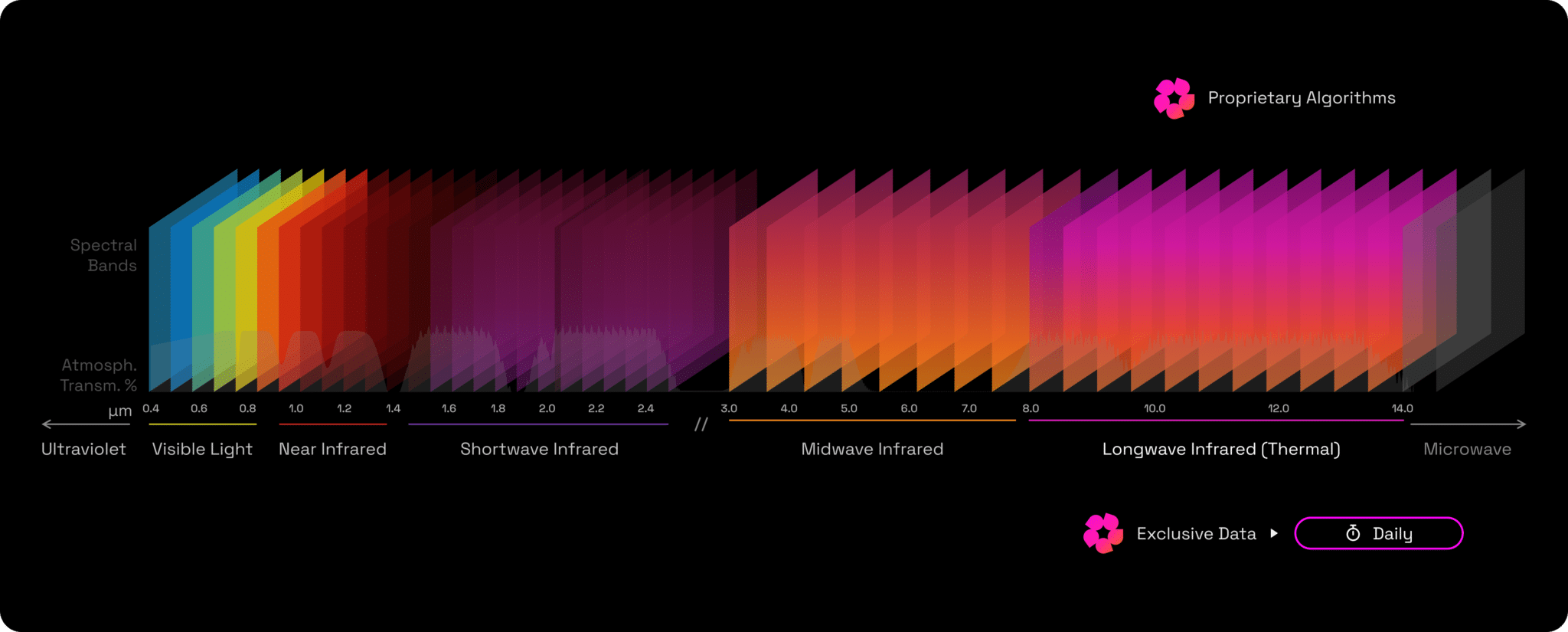
Our next-generation constellation, Osiris, captures global imagery across the visible, near-infrared, and long-wave infrared spectra at exceptional spatiotemporal resolution.
With our market-leading swath, it will deliver daily, continuous monitoring of any location, combining 25 m high-resolution thermal imagery with coincident 10 m visible data.
This unmatched commercial capability enables continuous, analysis-ready surface temperature insights to support advanced environmental monitoring and decision-making worldwide.
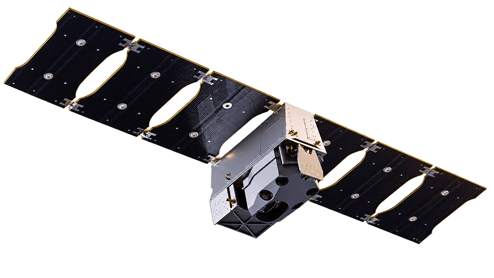
Following the launch of VZ-1 and VZ-2 (2025), our constellation is what drives us forward to bring change to people's lives, businesses and governments.
| Orbit Type | Sun synchronous |
|---|---|
| Orbit Altitude | ~510 km |
| Overpass Time | ~10:30 am or ~1:30 pm ~10:30 pm or ~1:30 am (LWIR only) |
| Spectral bands | 7 VNIR + 2 LWIR |
| GSD | 30 m (VNIR), 70 m (LWIR) |
| Field of view | 70 km |
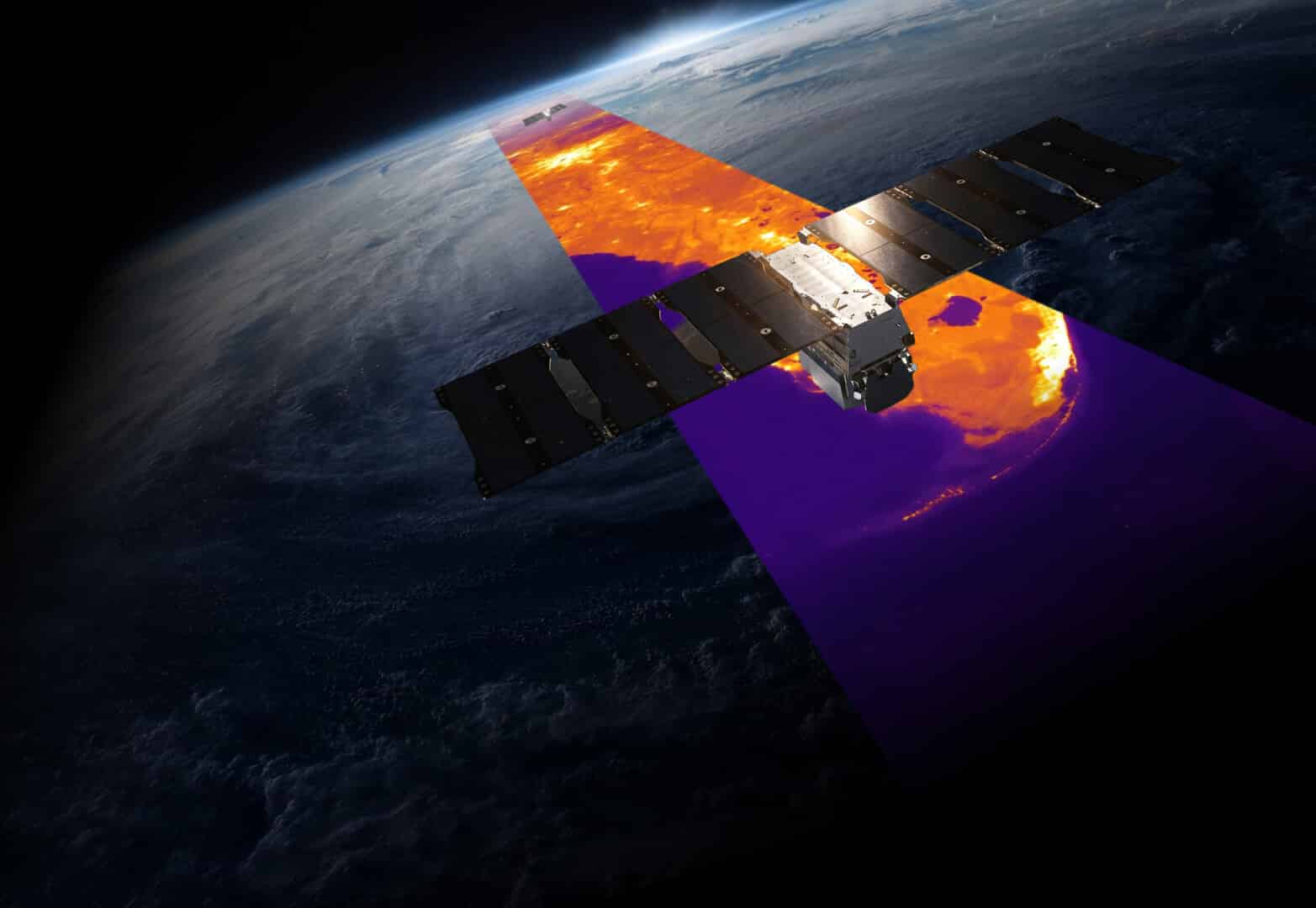
Hydrosat’s growing satellite constellation is designed in-house with proprietary payloads built by our experts to deliver daily, global thermal and visible imagery at unprecedented spatial and radiometric performance.
The system will capture 10 m resolution VNIR bands and 25 m LWIR bands, producing a product optimized for advanced analytics and large-scale monitoring at up to 340 km swath.
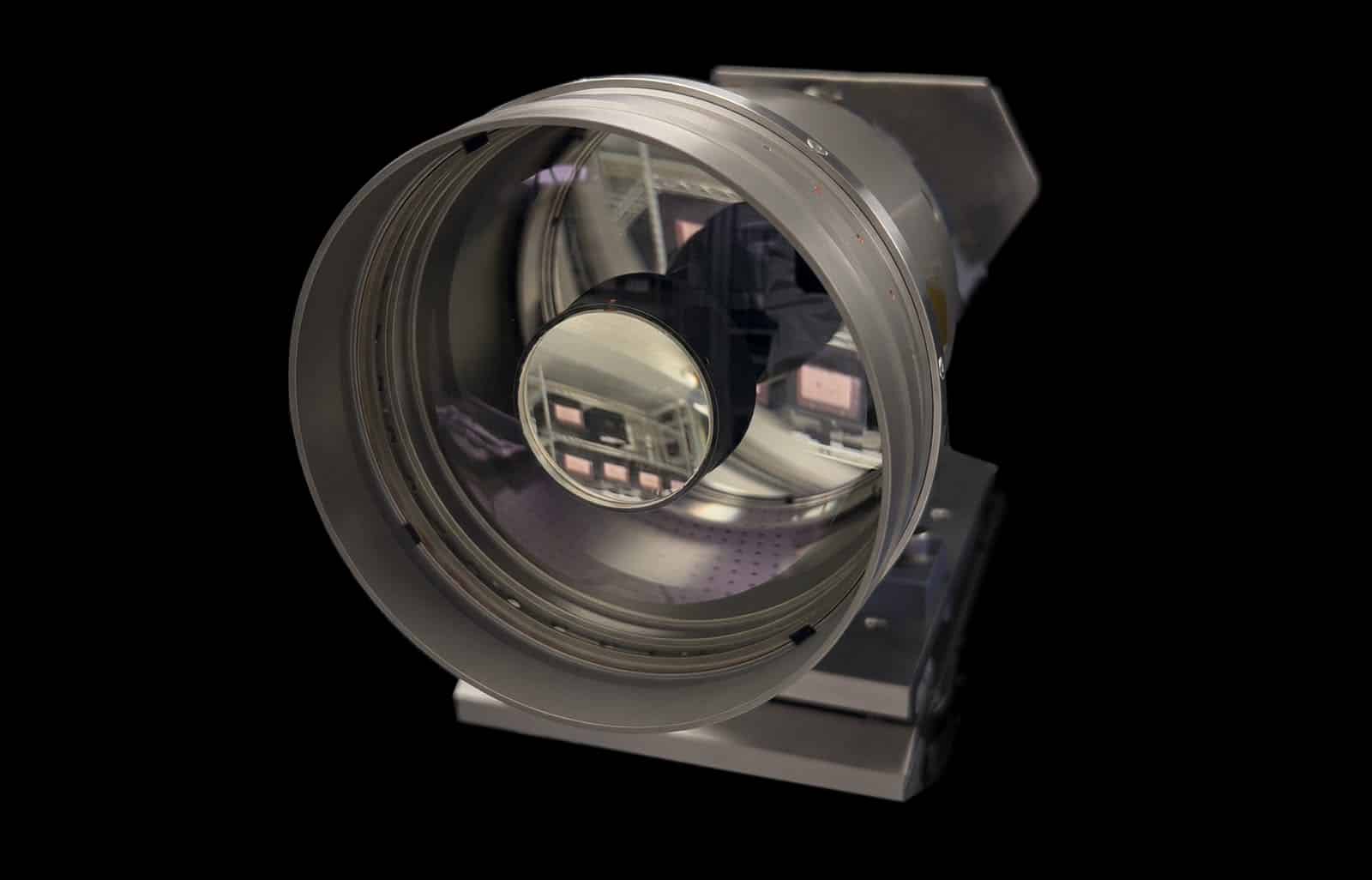
Each imaging payload is engineered to deliver highly precise, consistently calibrated measurements with secure, low-latency data delivery – ensuring users receive accurate thermal insights quickly and reliably.
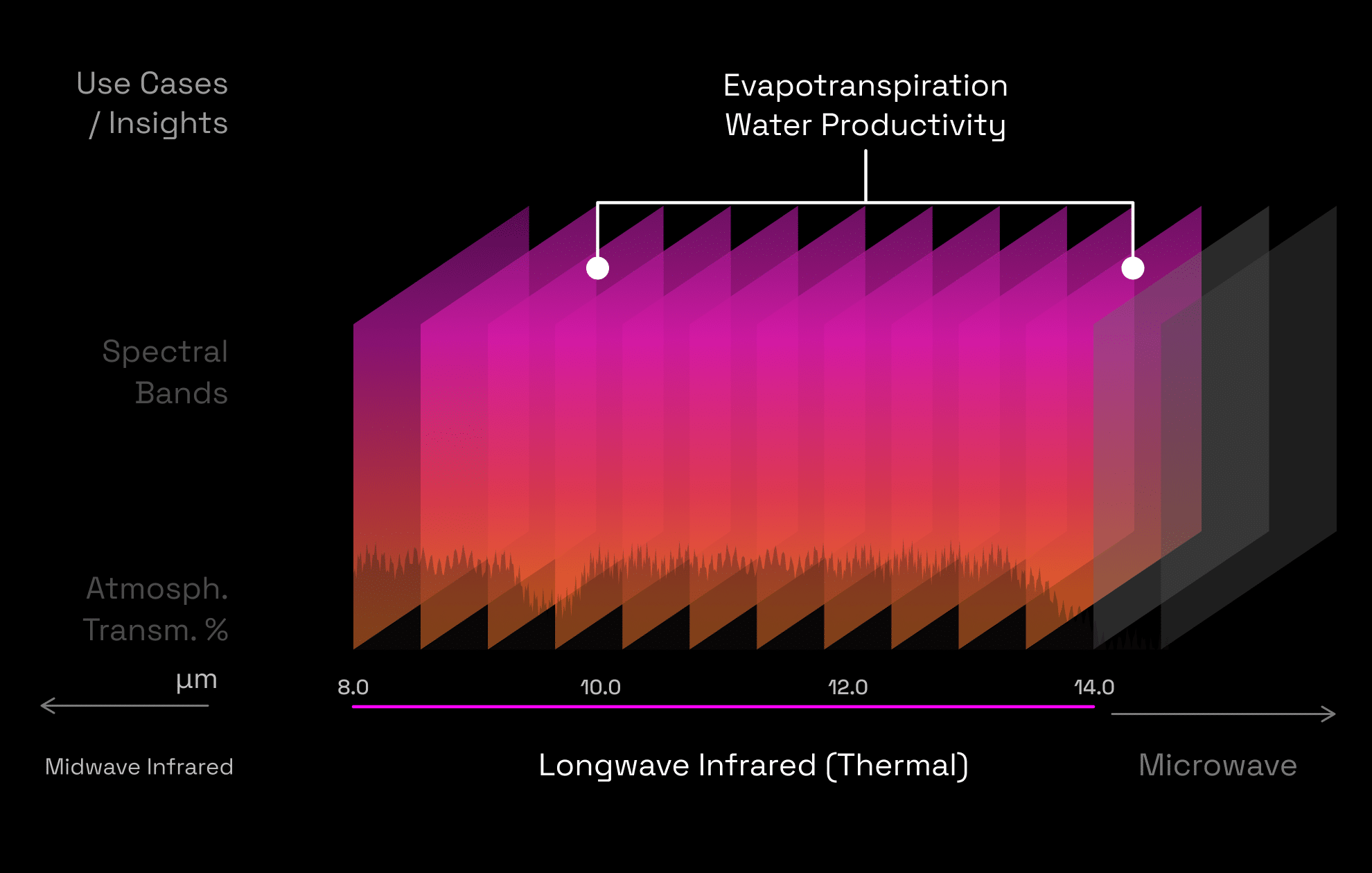
Thermal anomalies often emerge weeks before changes become visible to the human eye or traditional sensors. By identifying these early signals across large areas, analysts can tip higher-resolution sensors to the right location and uncover the story sooner.
Thermal sensors can observe continually-day and night-and remain effective through dust, fog, and light vegetation. This makes it possible to detect surface patterns and anomalies across wide areas, that conventional imaging cannot reliably detect.

Hydrosat has experience designing and building complex, high quality EO/IR imaging payloads.

Hydrosat’s extendable architecture allows for the addition of visible, NIR, SWIR, MWIR, and LWIR bands.

Hydrosat provides documentation and support for integrating and testing the payload.

We can support your on-orbit operations, including calibration and validation.

Our high-performance automated image processing pipeline can be deployed for you in AWS.

Leveraging existing designs allows Hydrosat to deliver faster than traditional programs.

Discover how organizations are leveraging Hydrosat's thermal intelligence to address real-world challenges across food security, water security, industrial monitoring, and more.
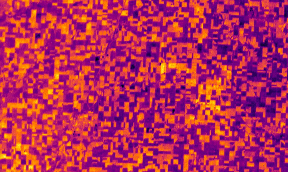
Identification of unseen crop stress, optimizing irrigation strategies, evaluating drought impacts, and monitoring crop growth.
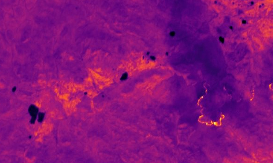
Enhanced disaster preparedness by tracking ignition risk, mapping heat perimeters and pinpointing emergency response efforts, in real time.
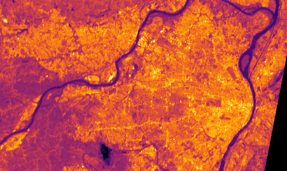
Monitoring heat islands and planning urban cooling initiatives for safer and healthier communities.
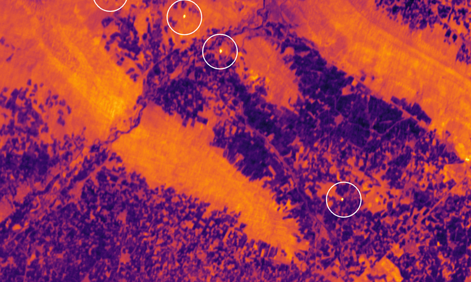
Detect the smallest anomalous activity, assess efficiency, and ensure environmental compliance of large-scale industrial facilities.
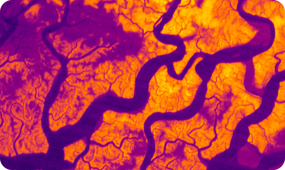
Identify sea surface temperature hotspots and monitor the health of fish stocks, for more manageable and sustainable fisheries.
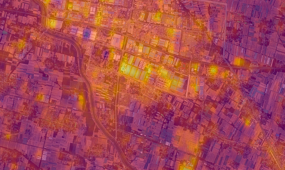
Monitor the thermal signatures of strategic locations, enabling characterization of anomalies quickly and precisely.
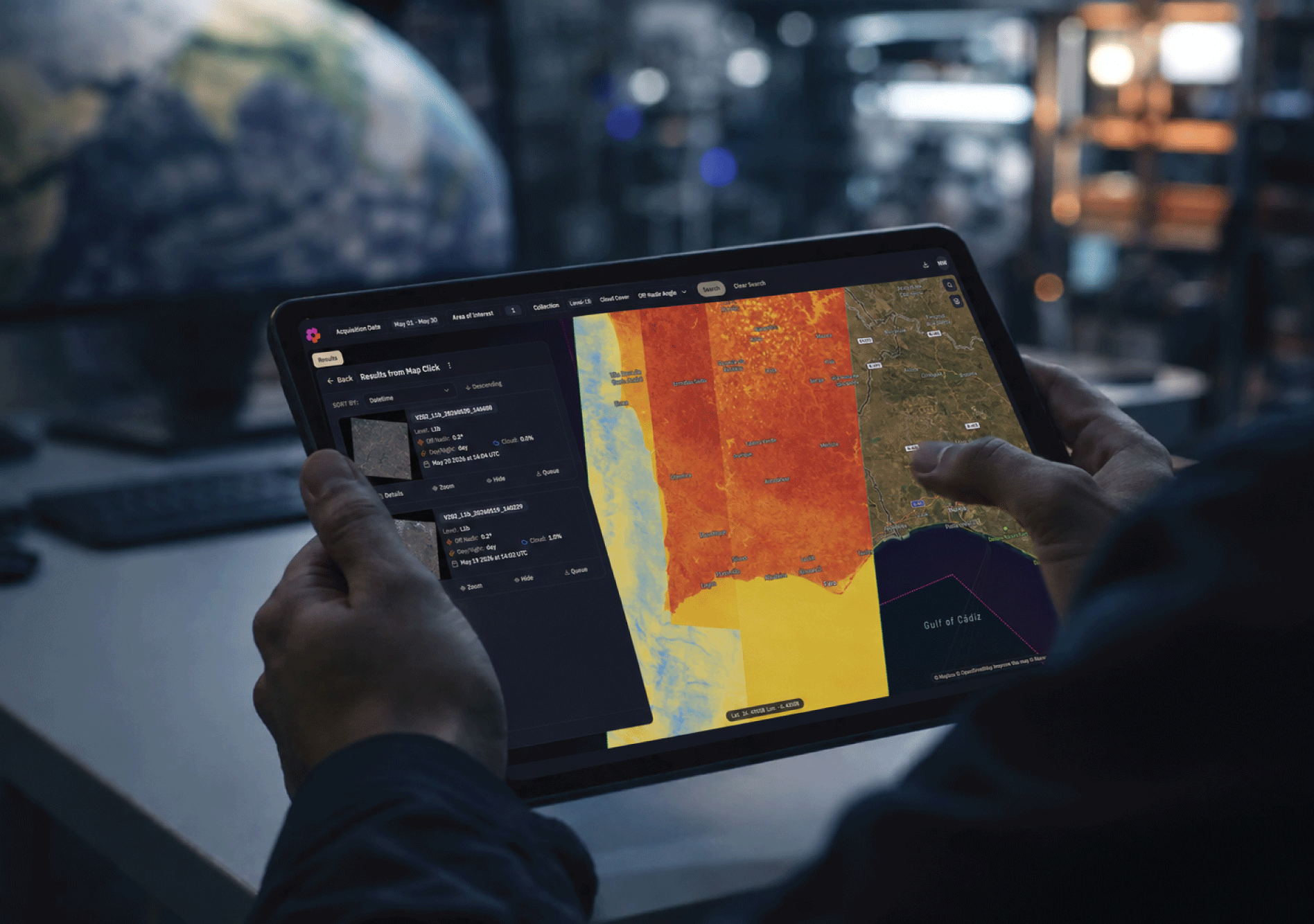
Explore our catalog of thermal insights, download data, or streamline into your systems via our STAC-compliant API.
Your request has been successfully submitted. We appreciate your interest and we will get back to you as soon as possible.
Your application has been successfully submitted. We appreciate your interest and we will get back to you as soon as possible.
12 jobs available