Step 1
Sign up
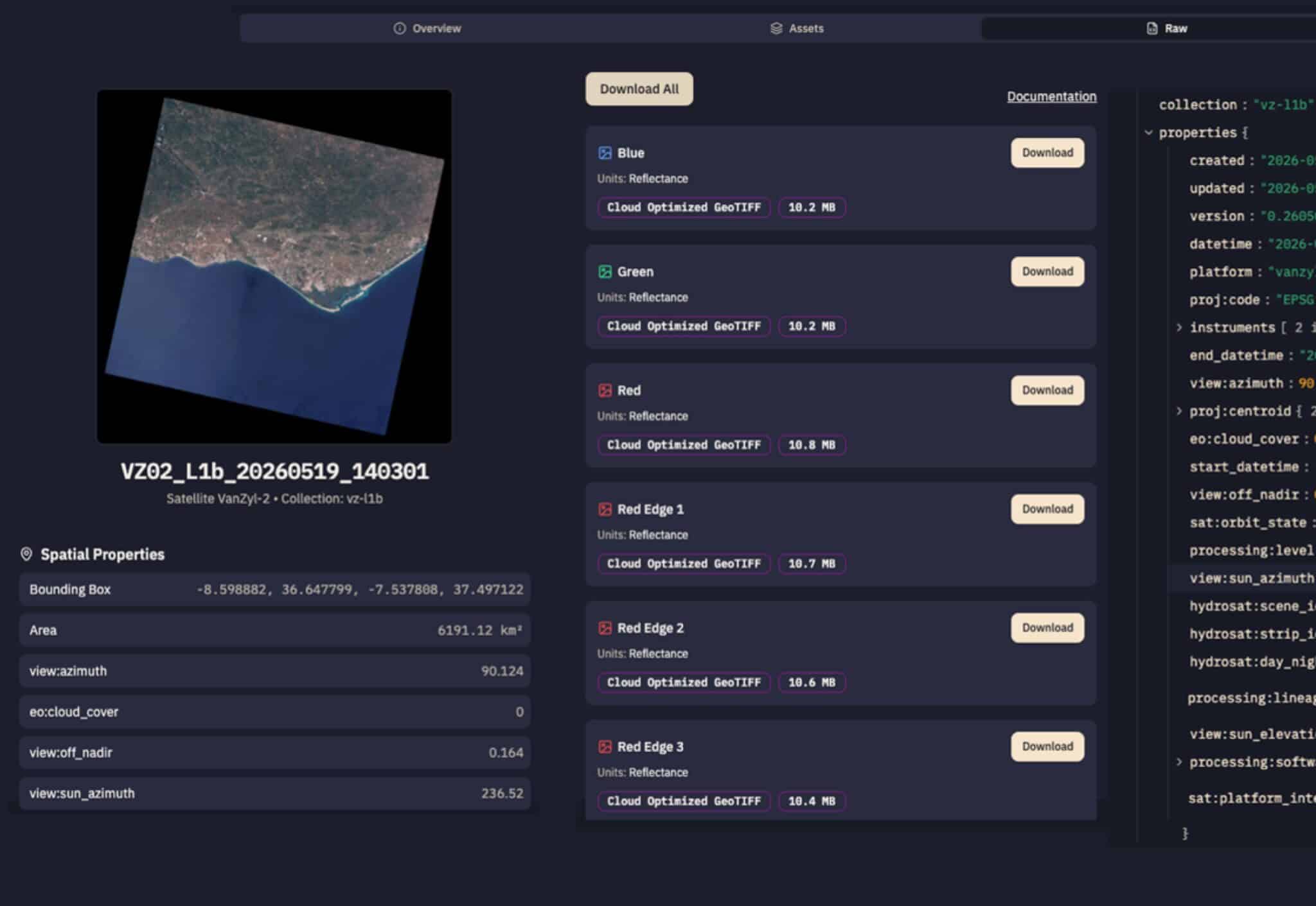
Explore our global catalog of thermal intelligence, download data, and integrate into your systems with a STAC compliant API.
Browse the Documentation | Log In

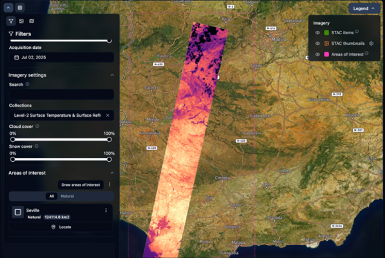
Our interactive platform displays our constellation's thermal intelligence in an intuitive map interface, allowing for easy integrations into your workflow.

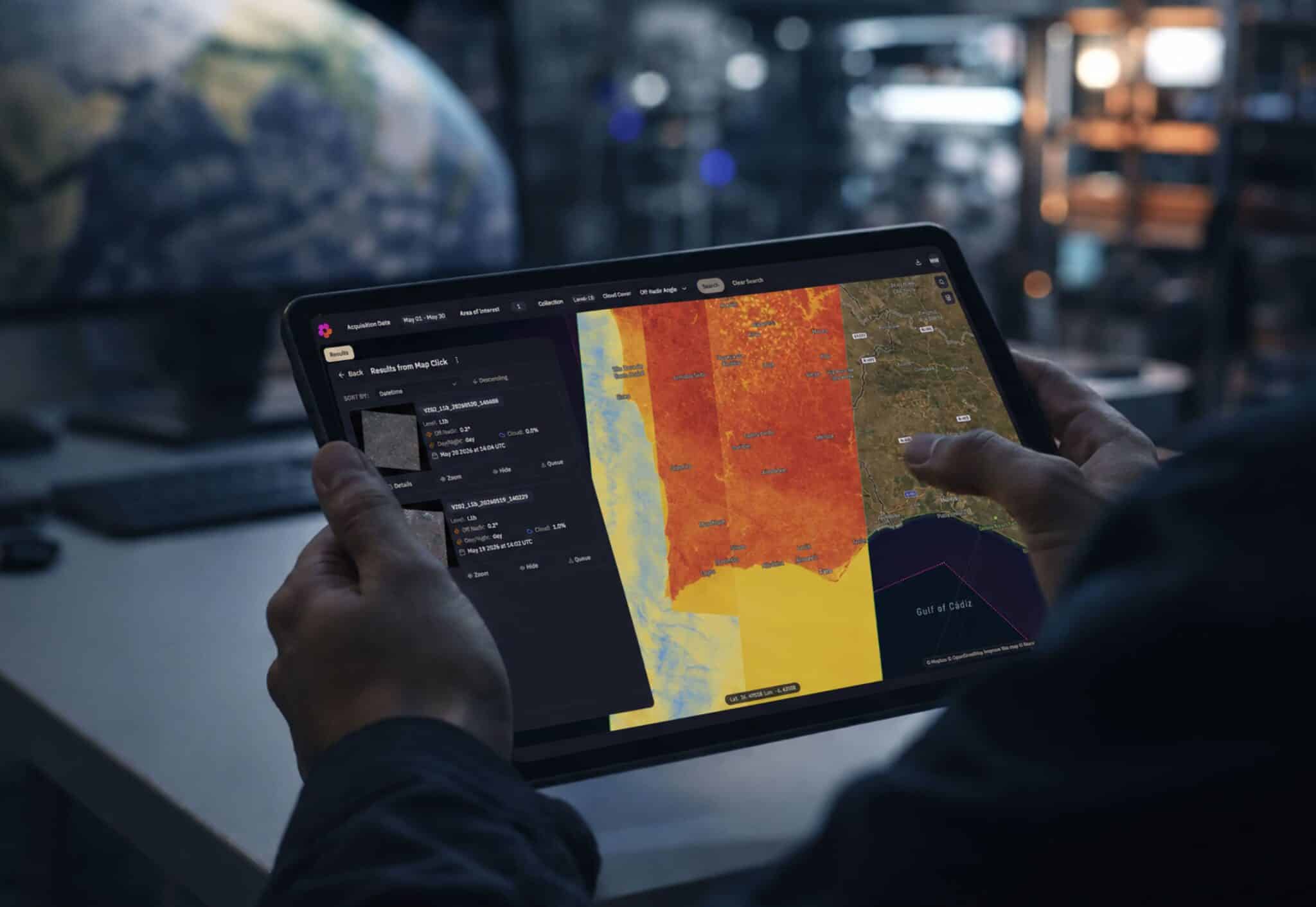
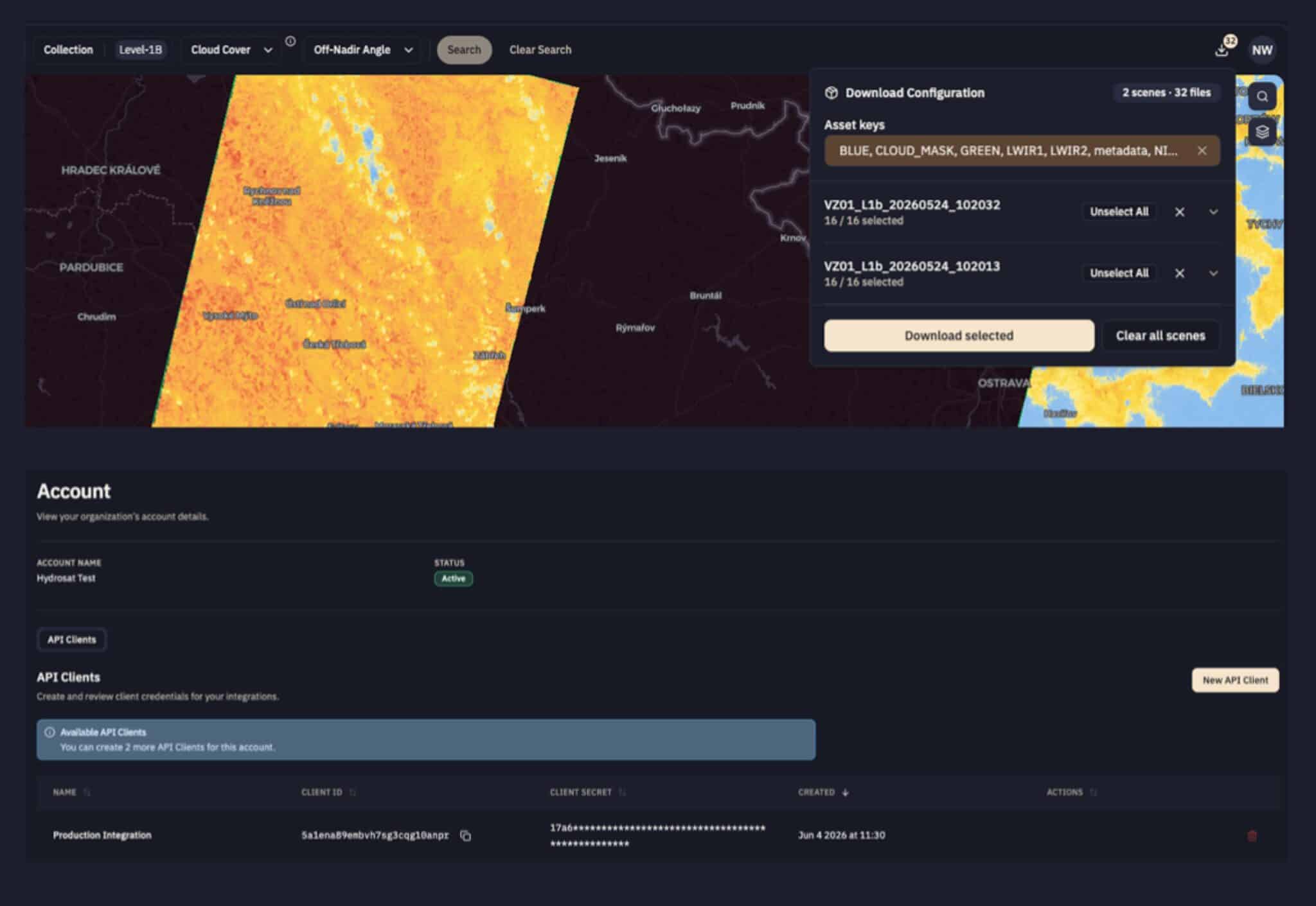
Built from the API, the interactive interface allows you to visualize and export data in just a few clicks.
Sign up
Define your interests
See the imagery
Download
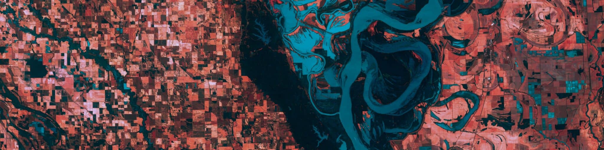
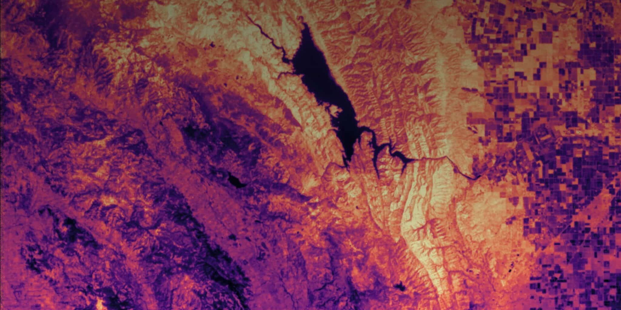
Our constellation is designed to deliver high-resolution thermal and visible imagery with daily global coverage.
Your request has been successfully submitted. We appreciate your interest and we will get back to you as soon as possible.
Your application has been successfully submitted. We appreciate your interest and we will get back to you as soon as possible.
12 jobs available